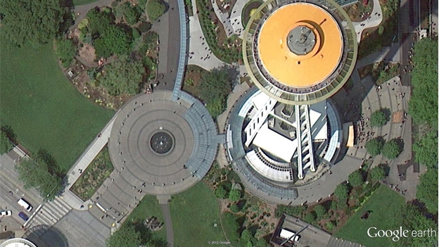
Google Maps and Google Earth have updated their imagery across the globe allowing you to view some of the world's sights and cities in high-resolution
Google Maps, responsible for providing the world with comprehensive and accurate mapping, has given the special treatment to 17 cities and 112 countries back in September and the new update spans across a further 164 cities and 108 countries.
Launched back in 2005, Google Maps has included international cities Luxembourg and Romania for the first time ever, expanding its incredible worldwide scope. Along with this new development, 40 more U.S. cities and 20 more international cities have also been introduced to the update.
Iconic landmarks such as the Space Needle in Seattle and Thun Castle in Switzerland are just some of the many places now available to see in the new aerial and satellite imagery.
They will continue to steadily release new high-resolution aerial updates of places around the world as it becomes available.
Google has been gaining increasing attention after it was rumoured that the company was finally prepping Google Maps iOS 6 which would finally mean the return of Google Maps to the iPhone.
Sign up to the T3 newsletter for smarter living straight to your inbox
Get all the latest news, reviews, deals and buying guides on gorgeous tech, home and active products from the T3 experts
T3.com is one of the UK's leading consumer lifestyle websites, visited by over 10 million people every month. You can follow us on Twitter, Facebook and Instagram. We present products in helpful buying guides and carefully curated deals posts across style, living, auto, smart home, watches, travel, fitness and more. We also have a monthly magazine which you can buy in newsagents or subscribe to online – print and digital versions available.
-
 Google Maps is rolling out a potentially life saving upgrade to millions of users
Wildfire alerts are spreading
By Max Freeman-Mills
-
 Google Maps on iOS and Android updated with Waze live reports
Live traffic, accident and construction updates sent to Google Maps
By Thomas Tamblyn
-
 Has Google Maps captured a murder?
'Blood-stained' pier prompts speculation over possible crime
By Ben Furfie
-
 Nothing's next phone could be a budget powerhouse, thanks to this confirmed hardware detail
Official details reveal more about the next phone coming from Nothing
By Chris Hall
-
 The biggest mistake you’re making when cooking Easter lamb in an air fryer
Cooking Easter lunch in your air fryer? Don’t make this mistake…
By Bethan Girdler-Maslen
-
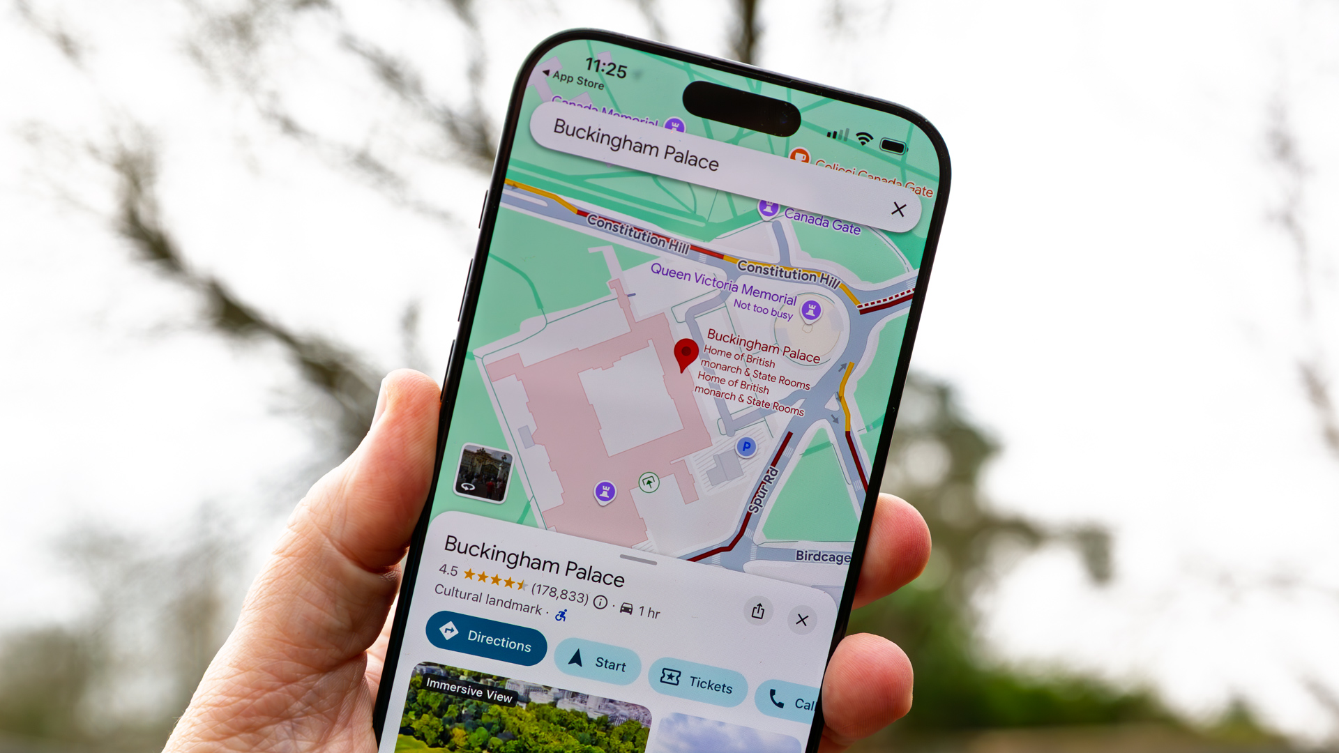 Google Maps design update finally comes to iPhone after Android owners have enjoyed it for months
It should make one-handed use much easier
By Britta O'Boyle
-
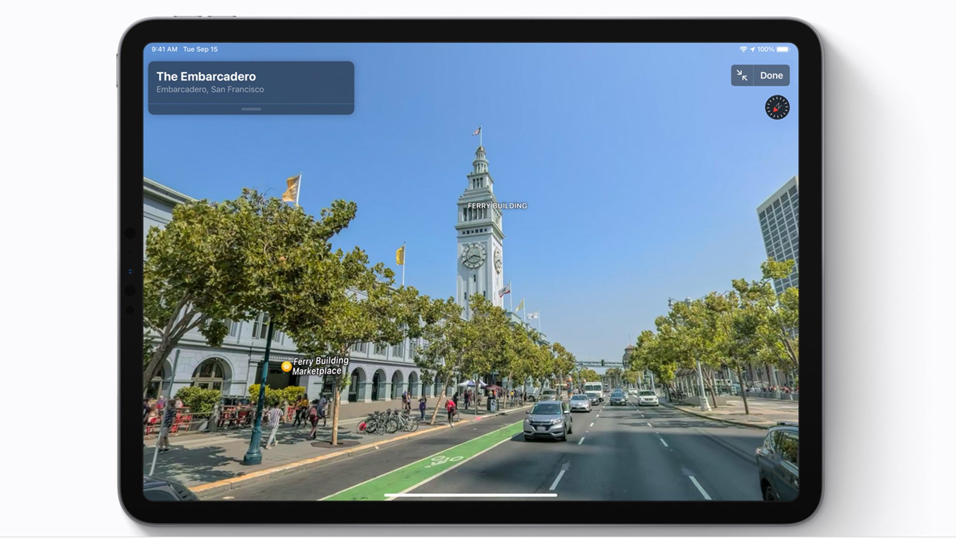 Apple Maps' latest free update brings it closer to seriously rivalling Google Maps
Apple brings one of Maps' best features to anybody with a web browser
By Carrie Marshall
-
 Google Maps gets a big update that London visitors and commuters will especially love
Street View now available for 18 major London Tube stations
By Rik Henderson
-
 Google Maps is getting its best free update yet and it’s a game-changer
The best traffic warnings are coming to the main Maps app at last
By Carrie Marshall
-
 Google Maps is getting a free upgrade to help users spot companies with fake reviews
This is a brilliant new feature
By Sam Cross
-
 Google Maps gets another neat design update and we like it
The makeover continues
By Britta O'Boyle
-
 Google Maps just got a neat design upgrade for free
Maps is becoming simpler to navigate
By Max Freeman-Mills
-
 Google Maps is rolling out a potentially life saving upgrade to millions of users
Wildfire alerts are spreading
By Max Freeman-Mills
