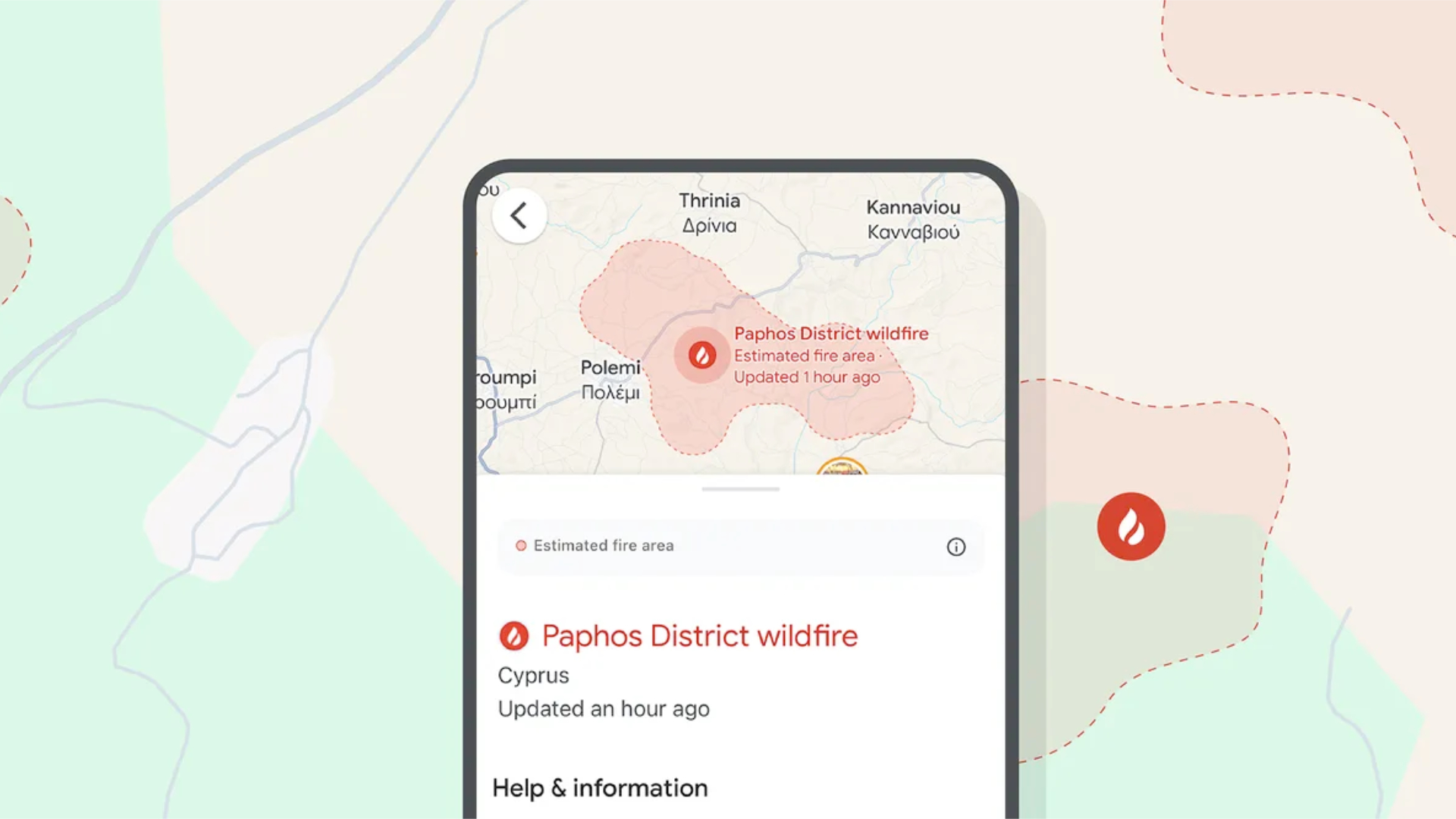
Google Maps is rolling out a potentially life saving upgrade to millions of users
Wildfire alerts are spreading


Quick summary
Google is rolling out better Maps labelling for wildfires in large parts of Europe and Africa.
The system was live in the US and is now going to be available for more users.
For a few years now Google Maps has had a hugely important feature in the US, Canada, Mexico, Australia and a few others, letting users see live wildfires in their maps, including relatively accurate depictions of their borders.
However, wildfires are far from isolated to the US as a problem, and Google has now announced that more users worldwide will get access to the same feature as it rolls out to countries in Europe and Africa.
The alerts will be live in both Maps and Search, and could be hugely helpful both in helping local people keep up to date on the situation, and in ensuring that people who aren't from the area don't accidentally make dangerous trips through fire-torn parts.
Google says the feature is coming to 15 new countries, and the list is as follows:
- Andorra
- Bosnia & Herzegovina
- Croatia
- Cyprus
- France
- Greece
- Italy
- Kenya
- Monaco
- Montenegro
- Portugal
- Rwanda
- Slovenia
- Spain
- Türkiye
This means there are 22 countries in total that now have access to the feature, and we'd assume that the list will slowly start to expand over time, given the number of places around the world that struggle with fires in hot weather.
Google says that it's using AI to help model the fires and monitor their boundaries, and that the system has already successfully tracked fires Spain, Greece, and Cyprus over the last month.
It also says that over a million people have already seen these fire alerts, so it's pretty clear that when the system rolls out it makes a tangible difference to people's understanding of the fires around them. People can be notified in serious situations, but they'll also have the information overlaid on planned routes in Google Maps, as a lower-key way of letting them know about fires along the way.
Get all the latest news, reviews, deals and buying guides on gorgeous tech, home and active products from the T3 experts
With the climate emergency ensuring that more and more wildfires erupt each year in many regions, this sort of tool could be key in saving both lives and property, helping people get the notice they need to clear out of the area.

Max is T3's Staff Writer for the Tech section – with years of experience reporting on tech and entertainment. He's also a gaming expert, both with the games themselves and in testing accessories and consoles, having previously flexed that expertise at Pocket-lint as a features editor.